
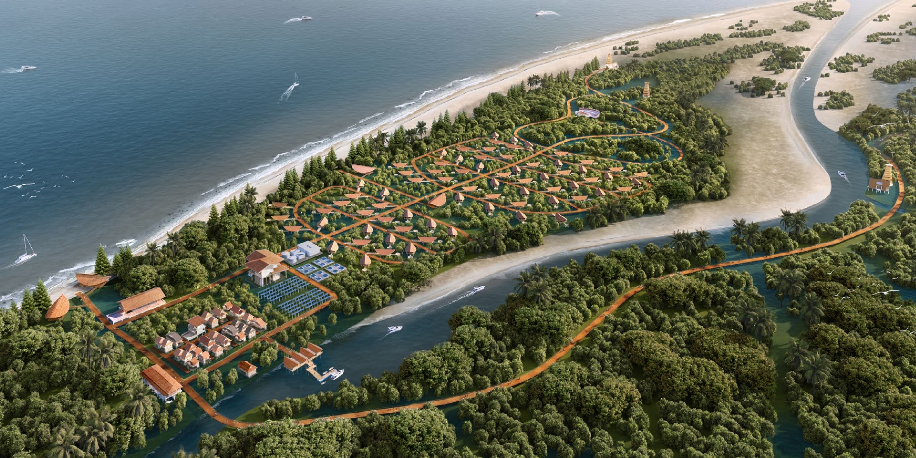
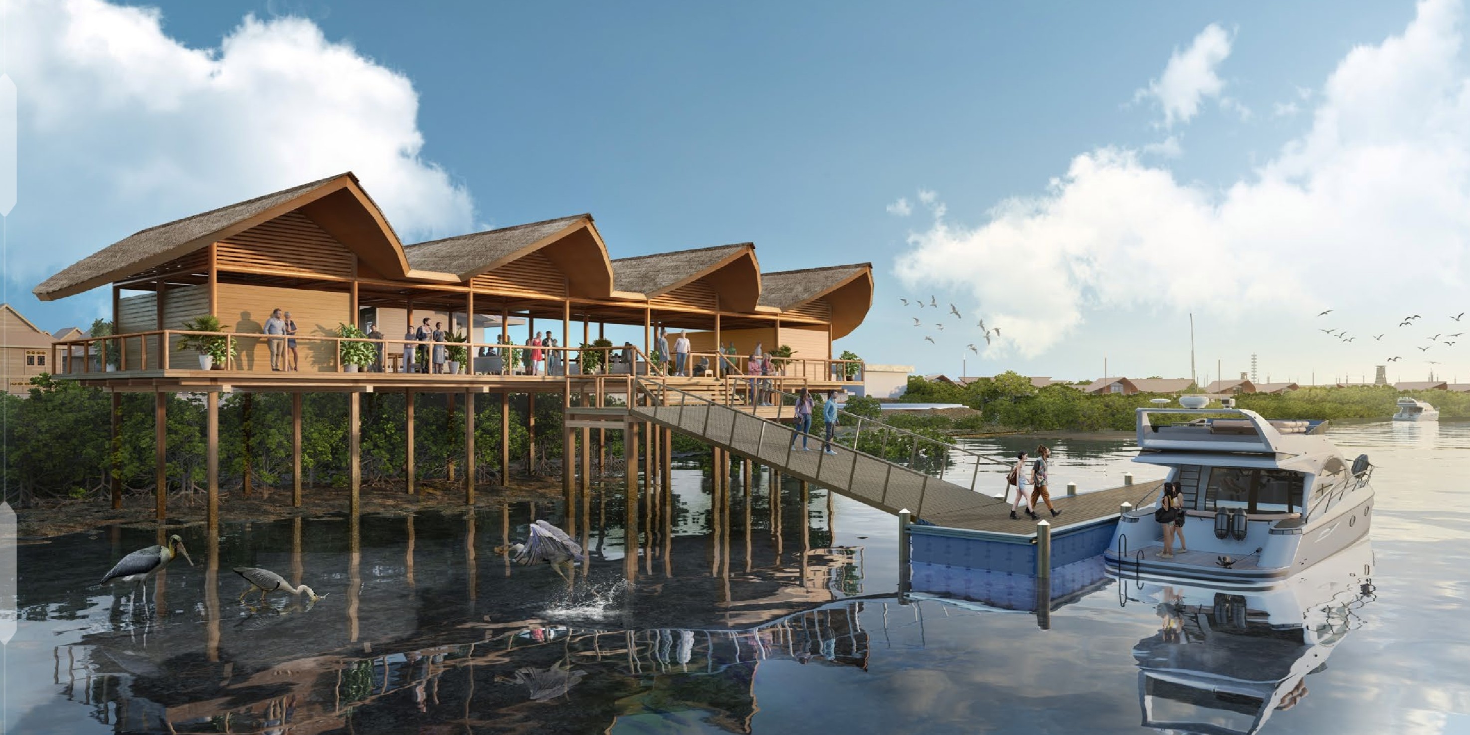
Innovative and Integrated Solutions for Survey Services, Site Investigation, and Ocean Engineering Design in Indonesia.
 Survey & Mapping
Seafloor depth measurement and contour mapping for navigation safety, port dredging, and coastal infrastructure development.
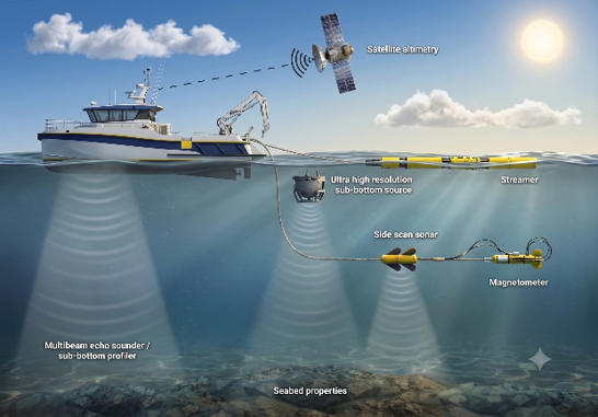 Sub-Surface
Sub-Bottom Profiling, Side Scan Sonar, and Marine Magnetometer for sub-seabed geological layer and pipeline detection.
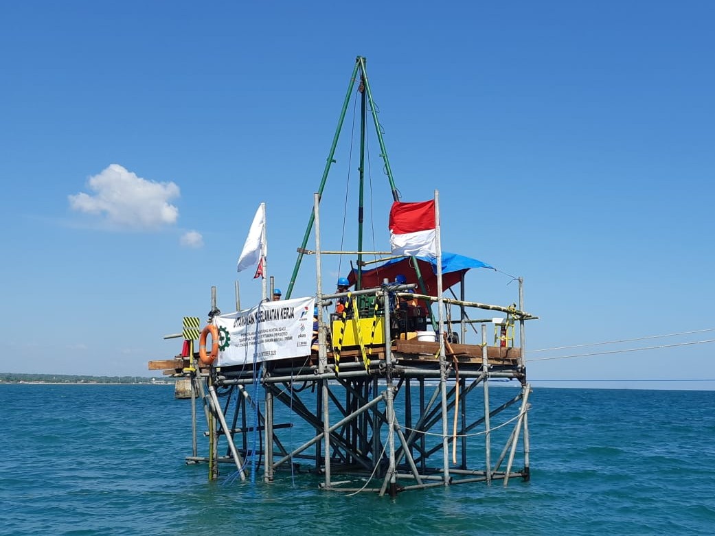 Geotechnical
Offshore drilling, coring, Cone Penetration Testing (CPT), and comprehensive marine geotechnical laboratory analysis.
Design & Modelling
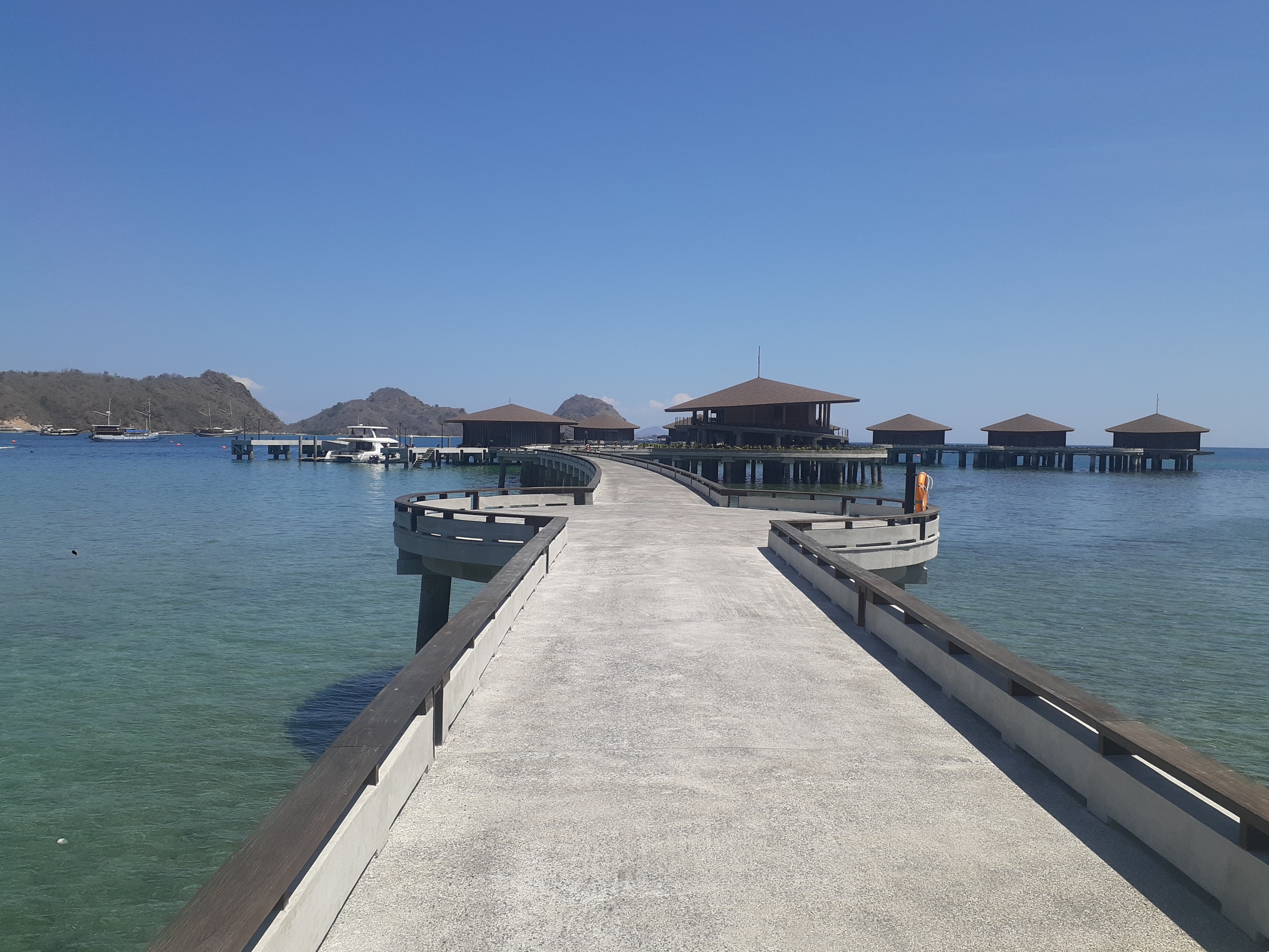
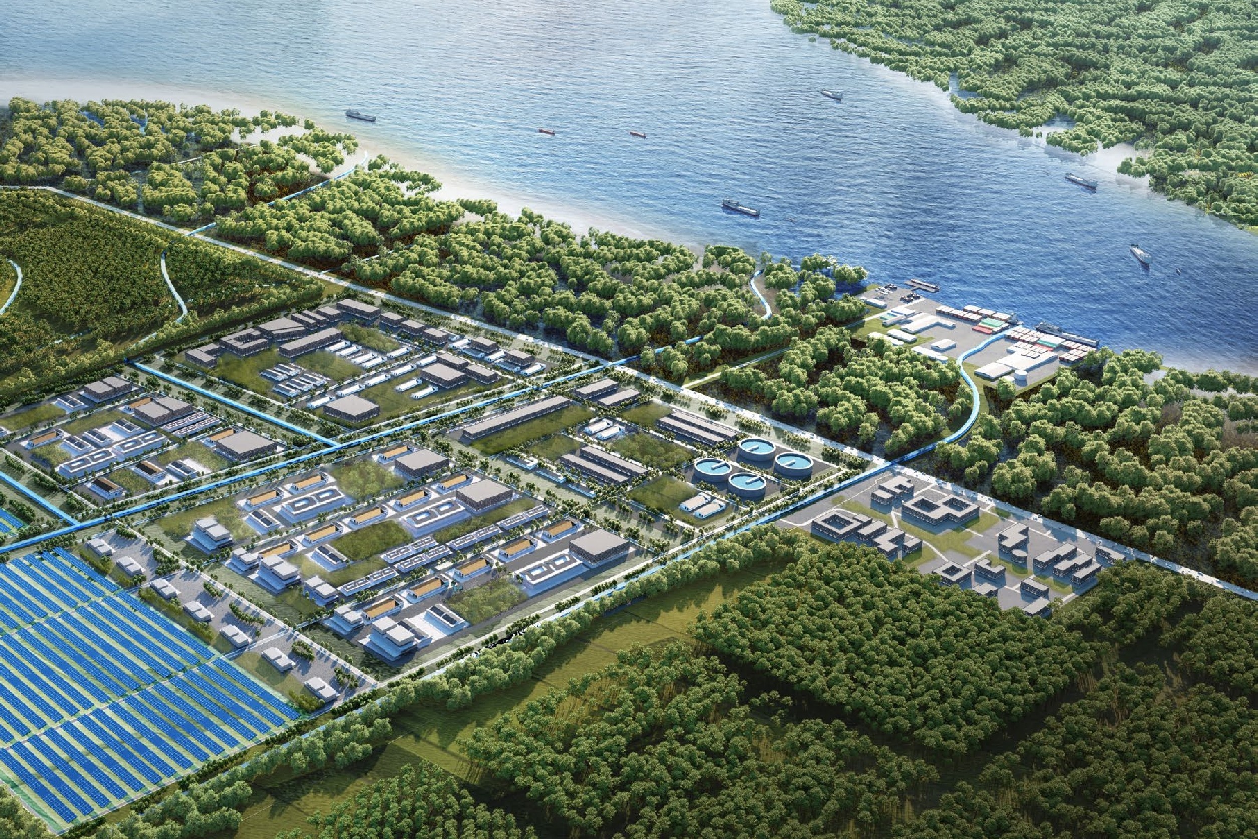
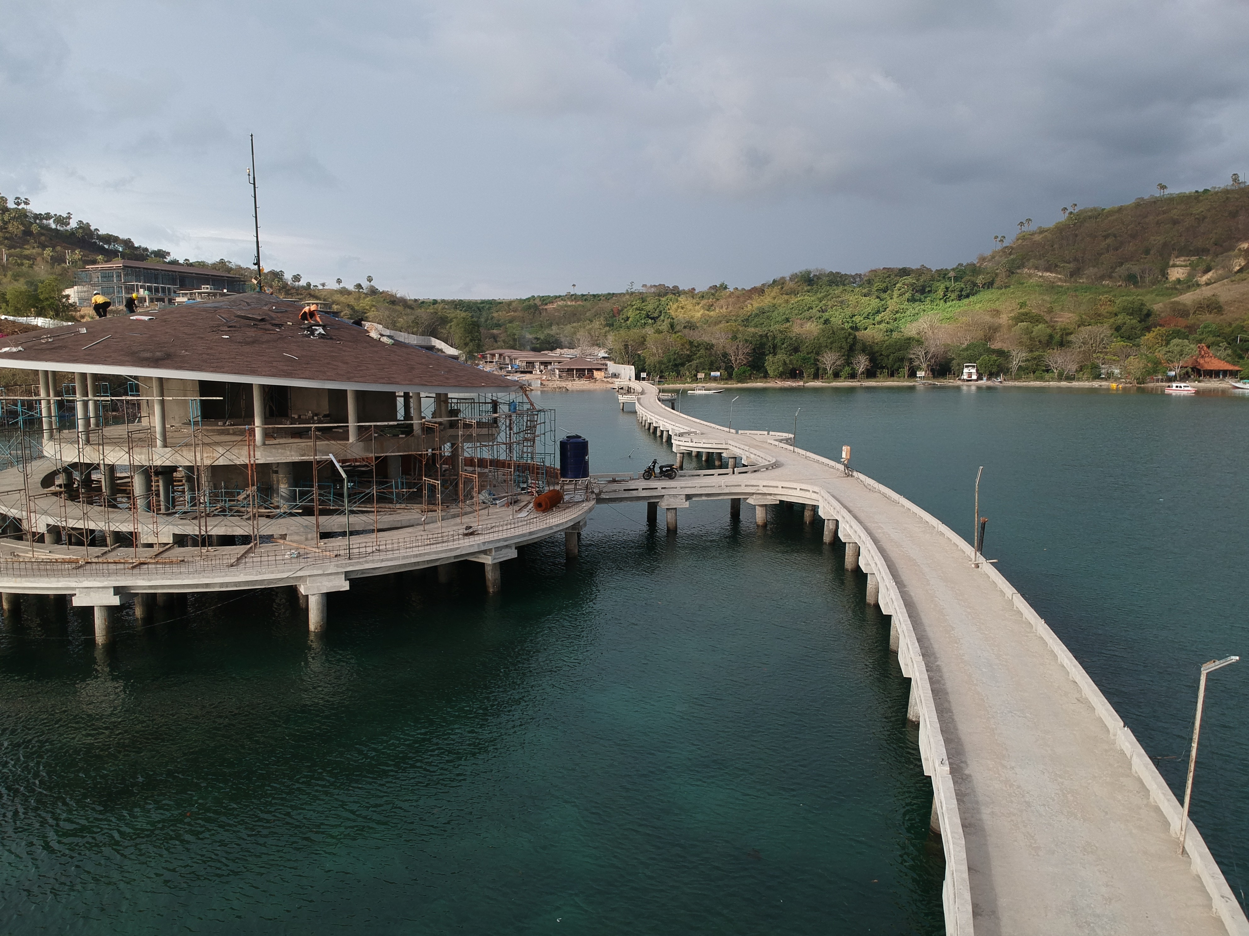
Detailed design of port structures, offshore pipelines, coastal protection works, and ocean hydrodynamic simulation.