SURVEY AND SITE INVESTIGATION
.jpg)
.jpg)
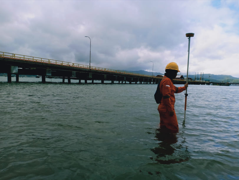
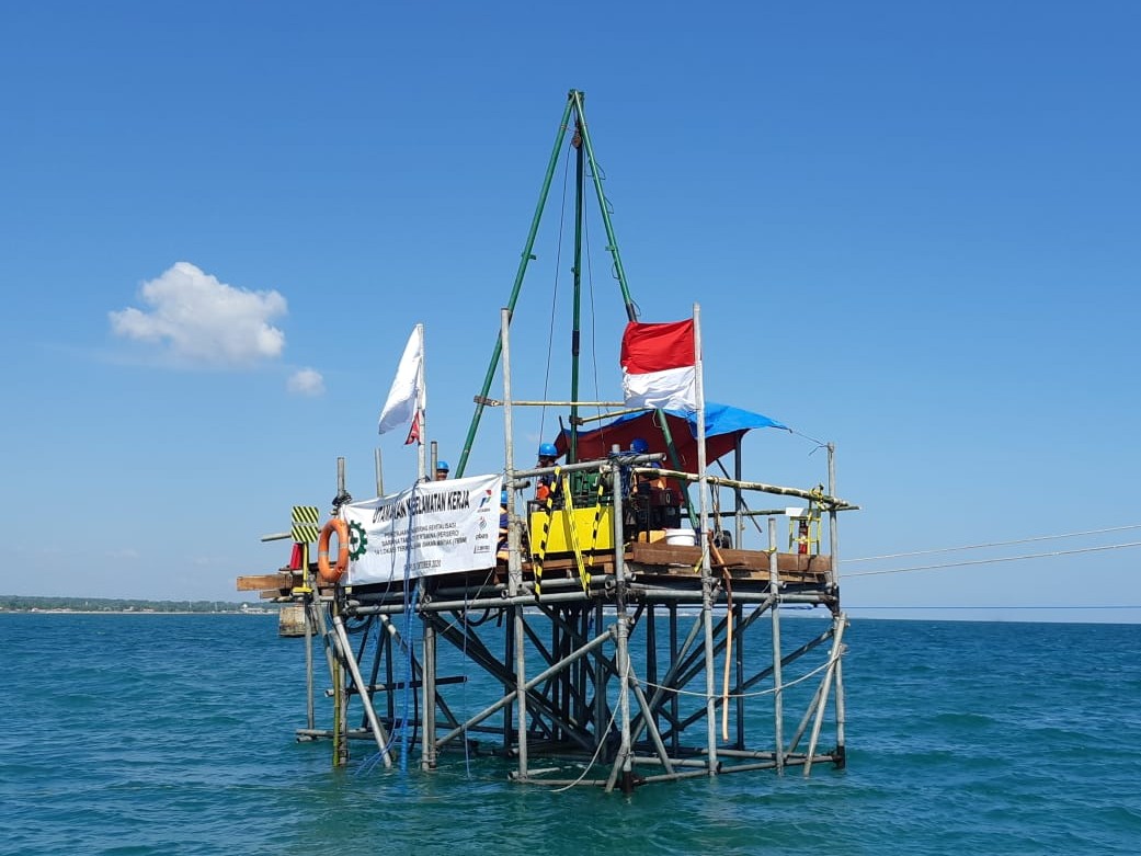
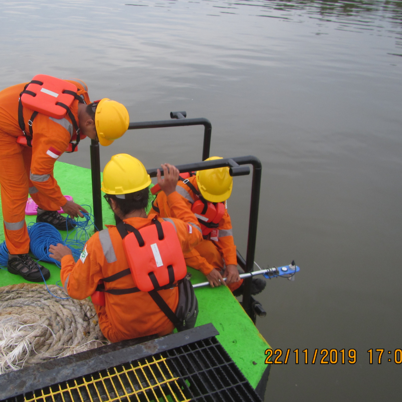
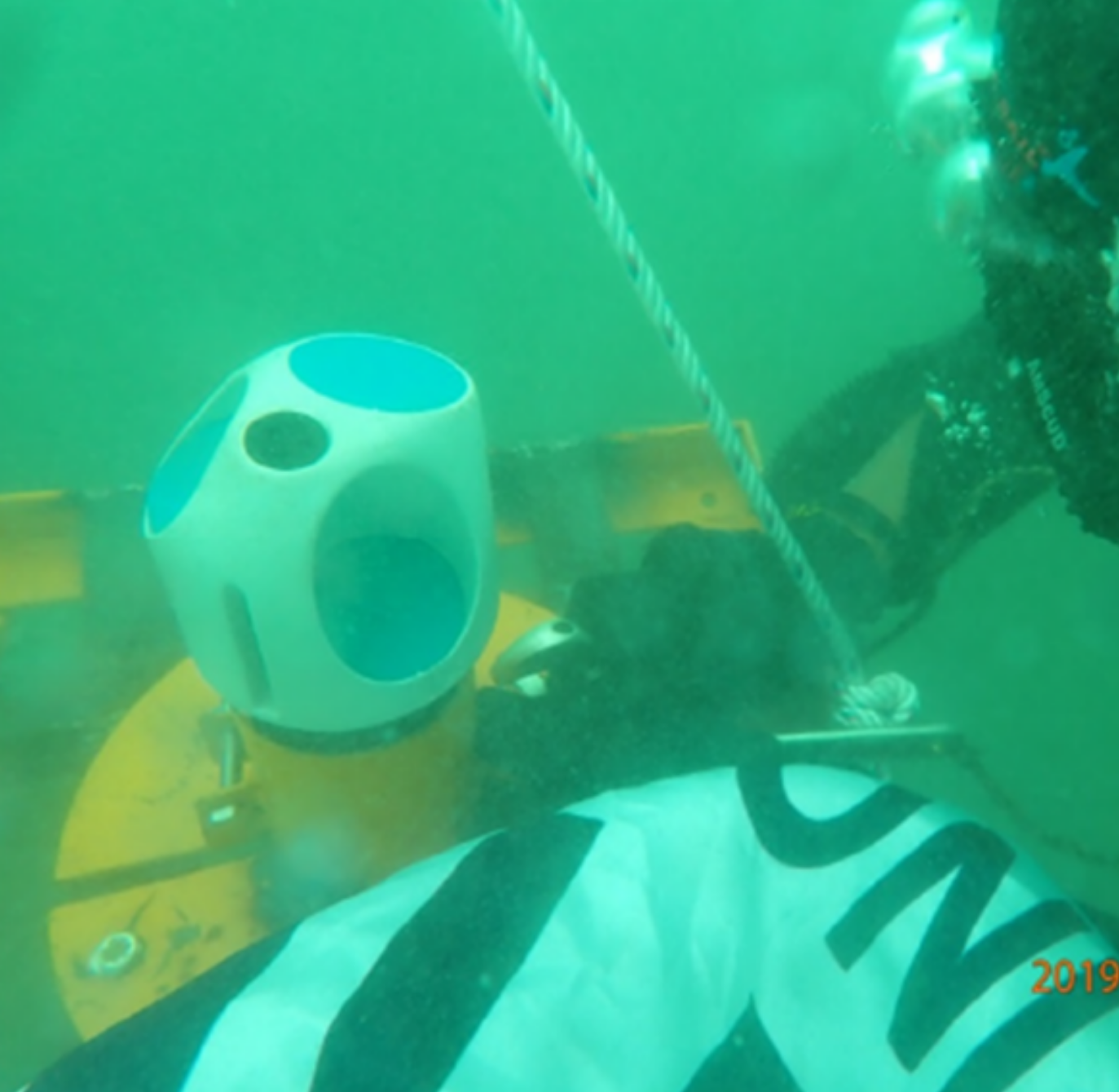
Comprehensive site investigation services delivering high-precision physical data for offshore and coastal developments. We utilize advanced hydrographic sonar, geophysical profilers, and geotechnical drilling to assess seabed conditions, soil stability, and navigation safety.
- Bathymetric & Hydrographic Mapping (Singlebeam / Multibeam)
- Sub-Bottom Profiling (SBP) & Side Scan Sonar (SSS)
- Marine Geotechnical Drilling & Cone Penetration Testing (CPT)
- Met-Oceanographic Current, Tide & Wave Data Collection
OCEAN ENVIRONMENTAL MODELLING
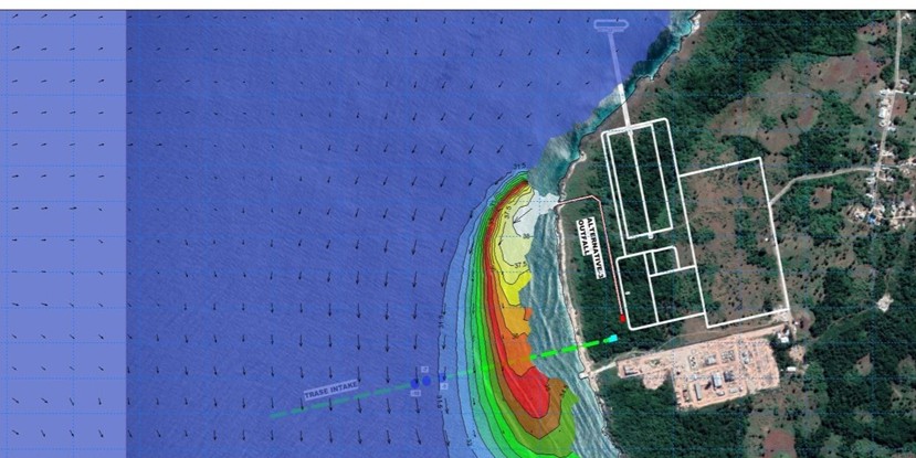
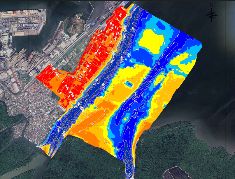
Advanced 2D and 3D numerical simulations analyzing hydrodynamic behaviors, thermal discharges, and sediment transport in coastal and estuarine systems. Our models support environmental impact assessments (EIA) and thermal plume dispersion analysis for power plants and industrial facilities.
- Hydrodynamic & Wave Climate Modeling
- Thermal & Power Plant Cooling Water Dispersion Analysis
- Particle Tracking & Dredge Plume Dispersion Modeling
- Coastal Sediment Transport & Morphology Simulation
GIS (GEOGRAPHIC INFORMATION SYSTEM)
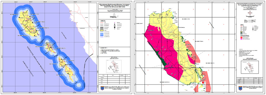
Spatial data processing, spatial database design, and geographic information modeling for coastal zone management and marine spatial planning. We deliver accurate geo-referenced maps and interactive spatial dashboards for complex marine logistics and resource management.
- Marine Spatial Planning & Coastal Zoning Maps
- Seabed Habitat & Biota Spatial Mapping
- UAV Aerial Photogrammetry & Topographic GIS Integration
- Geospatial Database Management & Satellite Remote Sensing
ONSHORE ENGINEERING DESIGN
.jpg)
.JPG)
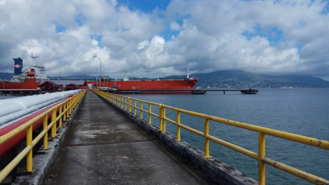
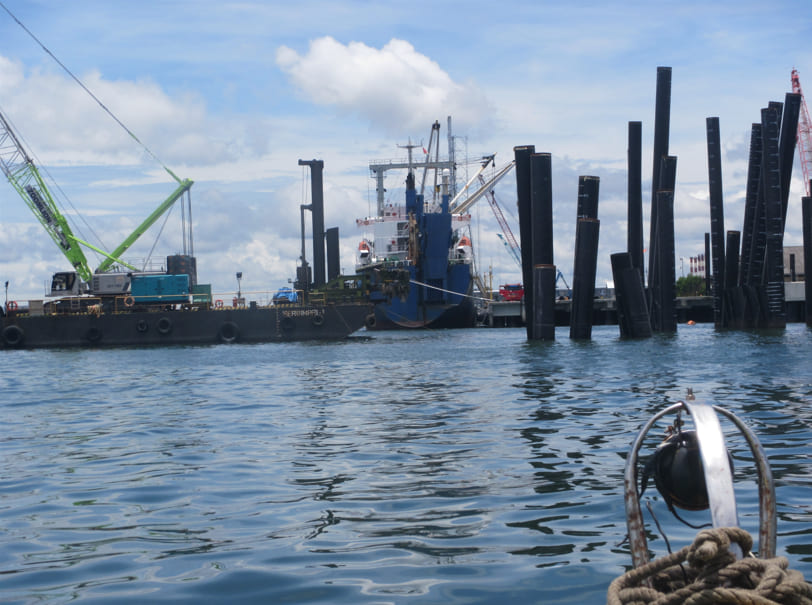
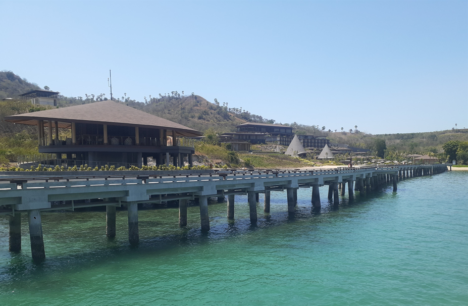
Detailed Engineering Design (DED) for coastal structures, port terminals, jetties, and shoreline protection systems. We integrate environmental data with structural engineering to build resilient and cost-effective coastal infrastructure.
- Jetty, Wharf & Breakwater Structural Design
- Reclamation & Coastal Seawall Engineering
- Dredging Channel & Port Basin Layout Design
- Slope Stability & Foundation Engineering
OFFSHORE ENGINEERING DESIGN
.JPG)
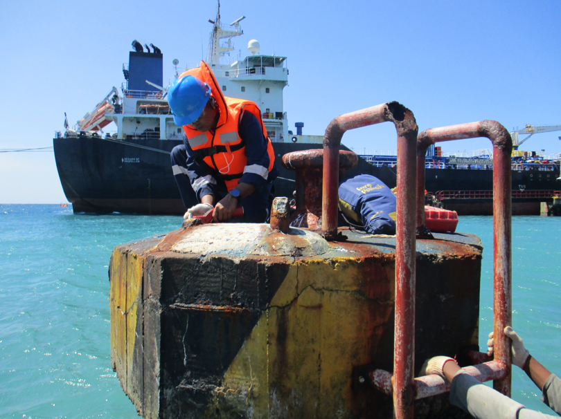
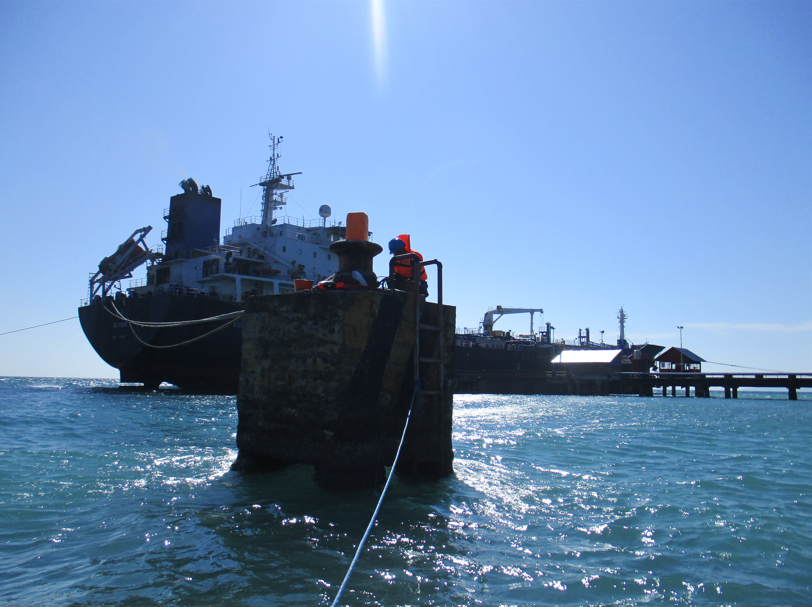
Specialized engineering solutions for offshore energy structures, subsea pipeline routing, and mooring revitalization. Our technical team conducts environmental criteria estimation and structural integrity assessments under extreme wave and current loading conditions.
- Subsea Pipeline & Cable Route Engineering
- Mooring System Revitalization & Mooring Line Analysis
- Offshore Platform Foundation Assessment
- Metocean Extreme Operating Criteria Calculation
Research & Development (R&D)
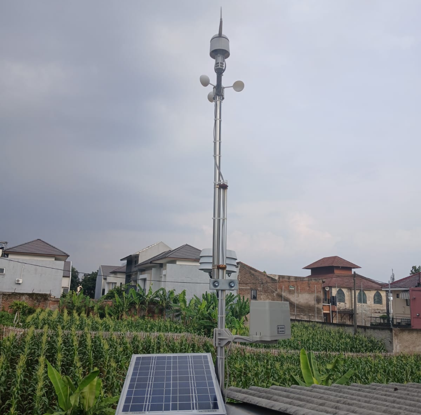
In-house marine instrument and device development by PT. OC ENVIRO to enhance field research efficiency and accuracy: